KGeography/uk: Difference between revisions
(Created page with '{{EduBreadCrumbs_(uk)}}') |
(Created page with '{|class="tablecenter vertical-centered"
| 64px
| '''KGeography''' — програма для вивчення географії, за допомог...') |
||
| Line 4: | Line 4: | ||
{|class="tablecenter vertical-centered" | {|class="tablecenter vertical-centered" | ||
| [[Image:Kgeography.png|64px]] | | [[Image:Kgeography.png|64px]] | ||
| '''KGeography''' | | '''KGeography''' — програма для вивчення географії, за допомогою якої можна вивчати адміністративний устрій країн (адміністративні одиниці, столиці та відповідні прапори, якщо такі прапори є у пакунку з програмою).<!--}--> | ||
It is part of the [http://edu.kde.org KDE Education Project]. | It is part of the [http://edu.kde.org KDE Education Project]. | ||
Revision as of 14:01, 3 October 2010
Домівка » Програми » Освіта » KGeography/uk

|
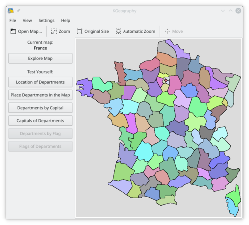
KGeography — програма для вивчення географії, за допомогою якої можна вивчати адміністративний устрій країн (адміністративні одиниці, столиці та відповідні прапори, якщо такі прапори є у пакунку з програмою).
It is part of the KDE Education Project. |

Features
- Learning by browsing the maps clicking in a map division to see its name, capital and flag
- Learning in game modes:
- The game tells you a map division name and you have to click on it
- The game tells you a capital and you have to guess the division it belongs to
- The game tells you a division and you have to guess its capital
- The game shows you a map division flag and you have to guess its name
- The game tells you a map division name and you have to guess its flag
- The game shows an empty map and you have to place divisions on it one by one
Documentation
Weblinks
- KGeography website at berliOS.de (english)
