Marble/MapThemes
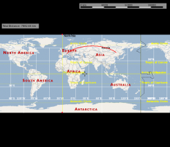
One of the core features of Marble is the support for different maps (map themes in Marble speak) and different planets. Each of them can be viewed in different projections: Make the planet look like a globe using the Spherical projection or view it like a printed map in the Mercator projection.
Planet Choices
Map Theme Choices
Overview Maps
| Map Theme | Preview | Description |
|---|---|---|
| Atlas | TODO | A classic topographic map. It uses vector lines to mark coastlines, country borders etc. and a height relief. |
| Satellite View | TODO | Earth as seen from space with sun illumination. |
| Earth at Night | TODO | Earth as seen from space without sun illumination. |
| Plain Map | TODO | A simple version of the Atlas theme without topography. |
Street Maps
These maps are optimized for high zoom levels, showing many details on the street and city level. Some of them provide good country and even continent or space views, but that's not their primary area of use. Need to find a route? Do you like hiking or biking? Want to explore the neighborhood? Pick one of these maps.
| Map Theme | Preview | Description |
|---|---|---|
OpenStreetMap General purpose |
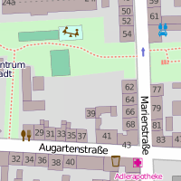 |
The famous OpenStreetMap Mapnik layer. A general purpose map with useful information for the most common use cases. The map is identical to that shown on openstreetmap.org. Combine this map theme with the Mercator projection for optimal speed and a sharp map view. |
Osmarender General purpose |
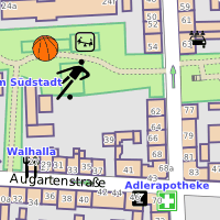 |
The OpenStreetMap Osmarender layer. A general purpose map with useful information for the most common use cases. The map is identical to that selectable in the top-right toolbox on openstreetmap.org. Compared to the Mapnik layer (OpenStreetMap theme), this theme has more lively colors and presents some different data. The view from space looks better than that of Mapnik. On the other hand, Mapnik handles conflicting elements at the street level better. In Osmarender, icon sizes are less balanced and the z-order (stacking) is wrong for some elements. Labels overlap in densely packed areas. Combine this map theme with the Mercator projection for optimal speed and a sharp map view. |
OpenCycleMap For bikers |
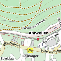 |
OpenStreetMap data presented for bikers. Combine this map theme with the Mercator projection for optimal speed and a sharp map view. |
OSM Hike & Bike For hikers and bikers |
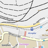 |
A map theme optimized for hiking and biking, based on OpenStreetMap data. Combine this map theme with the Mercator projection for optimal speed and a sharp map view. |
Educational Maps
| Map Theme | Preview | Description |
|---|---|---|
| Historical Map 1689 | TODO | A historical world map from the year 1689 created by G. van Schagen in Amsterdam. |
| Precipitation (month) | TODO | Colors indicate the precipitation in the given month |
| Temperature (month) | TODO | Colors indicate the average temperature in the given month |
...
| Map Theme | Linux (KDE) | Mac, Windows | Maemo (N900) |
|---|---|---|---|
| OpenStreetMap | Packaged | Packaged | Packaged |
| Atlas | Packaged | Packaged | Marble Maps package |
Projection Choices
| Spherical Projection | Flat Map Projection | Mercator Projection | |
|---|---|---|---|
| Example | 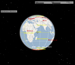 |
 |
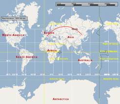 |
| Common Usage | Distant view, measuring large distances | Distant view | Close view |

